

A nearby trail escape: what to know before visiting Cypress Creek Preserve
Cypress Creek Preserve in Land O’ Lakes offers paved and unpaved trails. Choose the right entrance, download a map and pack water before heading out.

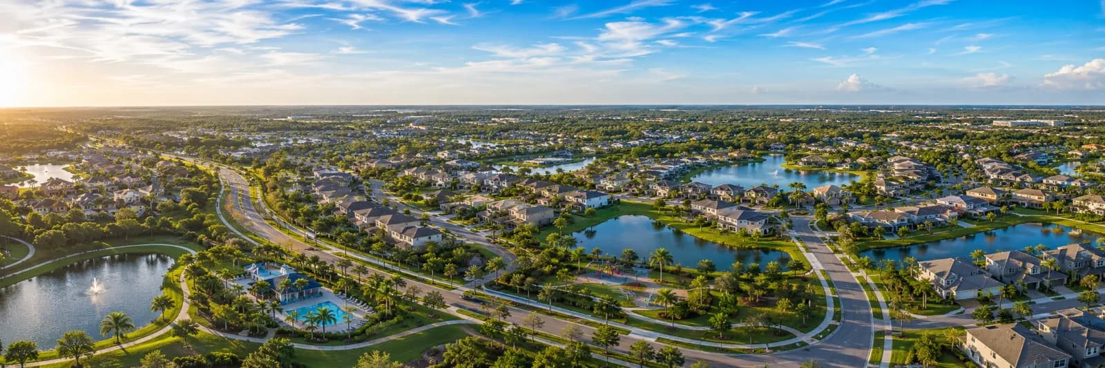
Archive photo: a pond near the entrance of Cypress Creek Preserve in Land O’ Lakes, December 30, 2011. Location context only; not a photograph of current trail or water conditions. Resized image licensed CC BY-SA 3.0. Photo: Candleabracadabra. Photo source · CC-BY-SA-3.0.
Looking for a different place to walk or cycle near the Wesley Chapel area? Cypress Creek Preserve in Land O' Lakes offers both paved and unpaved routes. Plan the entrance as carefully as the outing: the water district's visitor information says there is no drinking water or restroom at the entrances.
Choose your entrance and route
Parkway Boulevard is the primary access. The west gate is at the end of Pump Station Road, reached from Ehren Cutoff. An eastern walk-through entrance sits at the end of Quail Hollow Boulevard.
The district lists about five miles of paved multiuse trails from Pump Station Road and about 19 miles of marked hiking trails overall. Some trails can be very wet. Those figures describe the trail network, not the distance you must walk on one visit.
Download a map before leaving
The district's recreation maps page lists Cypress Creek Preserve and offers an interactive map. It also explains how georeferenced maps work with compatible phone apps. Review your route beforehand rather than relying on an entrance name alone.
Pack for a simple first visit
Start with a manageable out-and-back route. Bring water, suitable footwear and a charged phone; decide where you will turn around before setting out.
Camping requires a free reservation. Water-facility areas are restricted, and there is no public access beyond Tampa Bay Water's adjoining property to State Road 52 or the railroad tracks.
This guide covers an existing preserve, not a new opening. Official visitor guidance and the recreation closure list were checked October 3, 2026. Recheck before your trip; the archive photograph does not establish current trail or water conditions.




What do you think?
Share your perspective with your neighbors.
Free to join. Your draft stays here while you sign in.
Be the first to share your thoughts.